Garganta de Loriga
Garganta de Loriga
Glacial gorge in Serra da Estrela connecting Loriga to Torre (1,993 m) over 12 km rated difficult. Site closed since August 2022 fire: verify access before departure.
Current status: the site was closed following the August 2022 fires. Before any visit, check with the Loriga tourist office or Serra da Estrela Natural Park to confirm whether trail access has been restored.
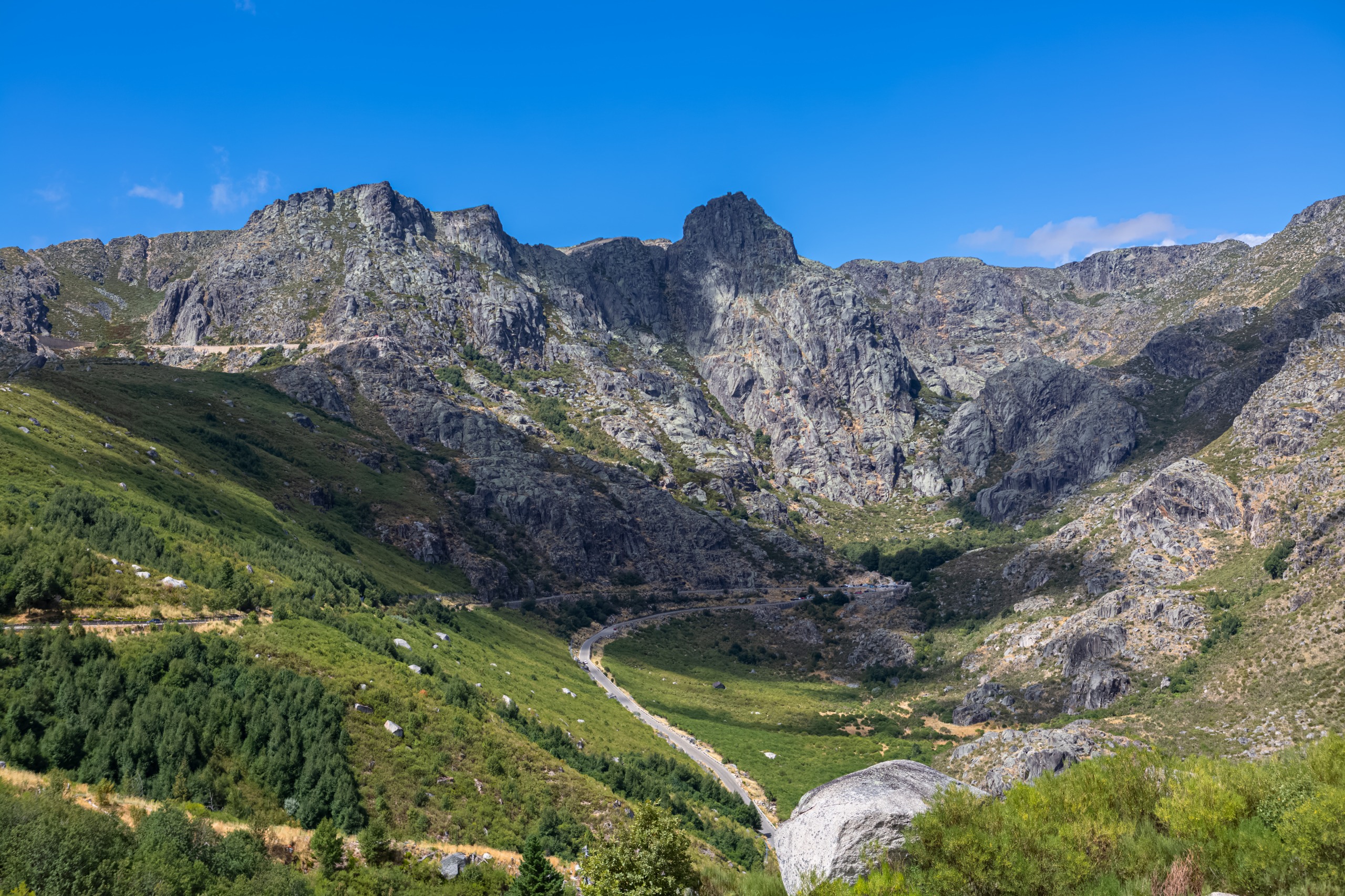
Garganta de Loriga is a glacial gorge in Serra da Estrela, in central Portugal. The hiking trail connects Torre, mainland Portugal's highest peak (approximately 1,993 m), to the village of Vide via Loriga, over 12 km rated difficult. Rocky outcrops, mountain lakes, glacial depressions and sheep pastures compose a mineral landscape typical of the massif.
Why visit Garganta de Loriga
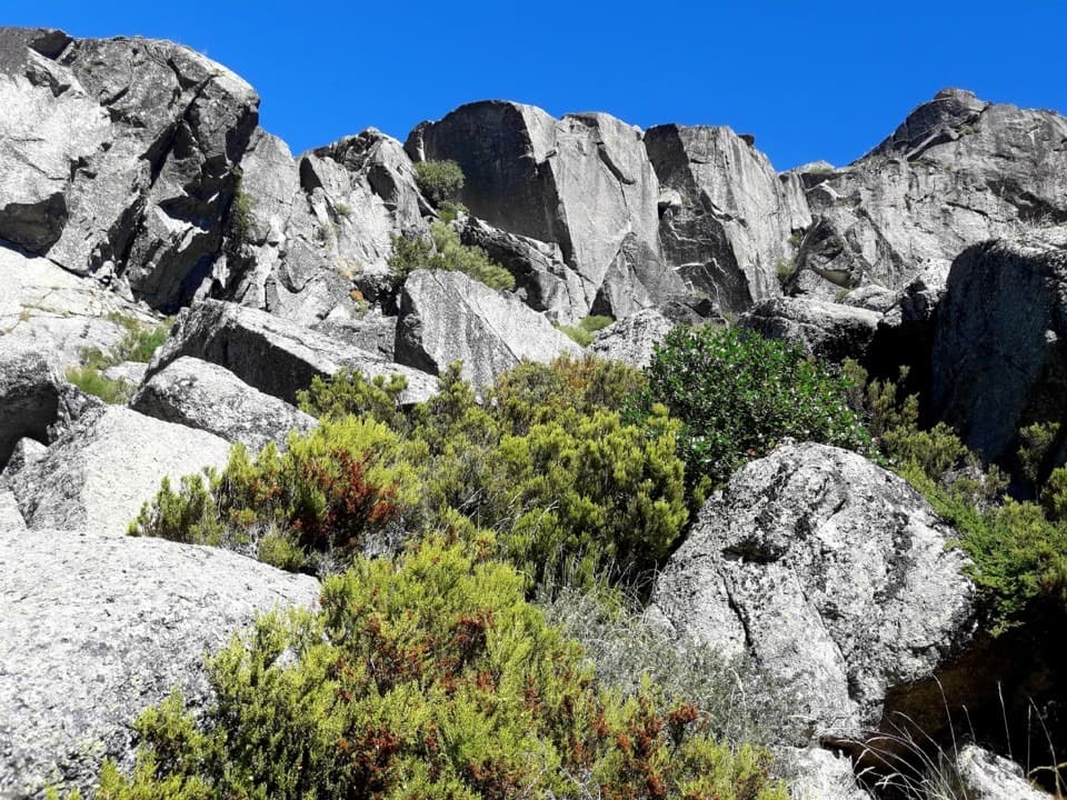
The gorge offers some of the most pronounced glacial relief on the Iberian peninsula. The slopes bear no trees: vegetation is limited to shrubs adapted to cold and wind, mainly white heather and juniper. This barrenness highlights the U-shape carved by the glacier, its rock bars and the succession of basins (covões) dotting the valley floor.
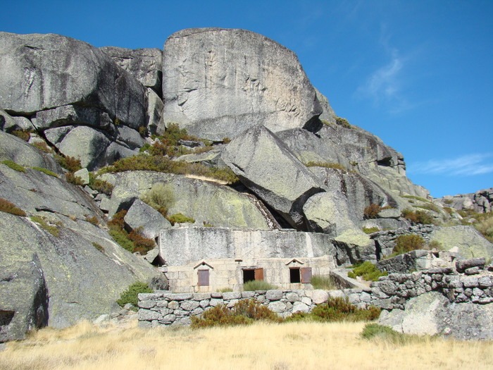
Downstream, a cluster of erratic boulders marks the former glacier front and offers a broad view of the valley. Herders continue to graze sheep and goats at altitude, perpetuating ancient pastoral practice.
Geological history
Serra da Estrela formed approximately 280 million years ago. The current landscape of Garganta de Loriga results, however, from far more recent erosion: during the last glacial period, an ice tongue estimated at 6.7 km carved the valley. This glacier began flowing approximately 20,000 years ago, scraping granite flanks and depositing the blocks visible today downstream.
The successive basins — covão da Areia, covão da Nave, covão do Meio, covão Boieiro — correspond to typical glacial overdeepening in a staircase profile, common in high valleys of the Alps or Pyrenees.
What you'll see along the route
The covões
The chain of glacial depressions (covões) harbors rare microhabitats in Portugal: high-altitude wetlands, plant and animal species restricted to mountain environments. Several of these basins retain water and form seasonal lakes.
Lakes, caves and meadows
The trail crosses high-altitude meadows where local herds graze, runs alongside lakes and passes near rock cavities. Summer transhumance still animates part of the plateau.
The panorama from downstream
From the boulder cluster located downstream of the gorge, the view embraces the valley as a whole, with Torre in the background on clear days.
When to go
The practicable period extends from May to December. In winter, snow and ice make the upper route dangerous: Torre is one of the few points in mainland Portugal to experience regular snowfall. In summer, an early morning start allows you to avoid heat on exposed, shadeless slopes.
Spring and early autumn offer the most stable conditions, with clear days and milder temperatures at altitude.
How to get there
The hike is a one-way route between Loriga (lower point, approximately 770 m) and Torre (approximately 1,993 m). Both endpoints are accessible by car, and a local taxi can arrange the return shuttle if you don't have two vehicles.
Loriga is reached from Coimbra or Covilhã via mountain roads; allow approximately 1.5 to 2 hours from Coimbra. Torre is accessible via the N339, a scenic route through the massif.
Practical information
- Distance: 12 km one-way
- Difficulty: rated difficult, lower section steep
- Elevation gain: over 1,200 m between Loriga and Torre
- Terrain type: rocky and earthy trail, former pastoral route
- Estimated duration: allow 5 to 7 hours depending on direction and pace
Bring medium-mountain equipment: ankle-height hiking boots, windbreaker, warm layer (wind is frequent at Torre), adequate water (few reliable sources on the route), sun protection and map or GPS track. Mobile coverage is irregular in the gorge.
Nearby
Serra da Estrela and its surroundings offer several stops to complement the hike:
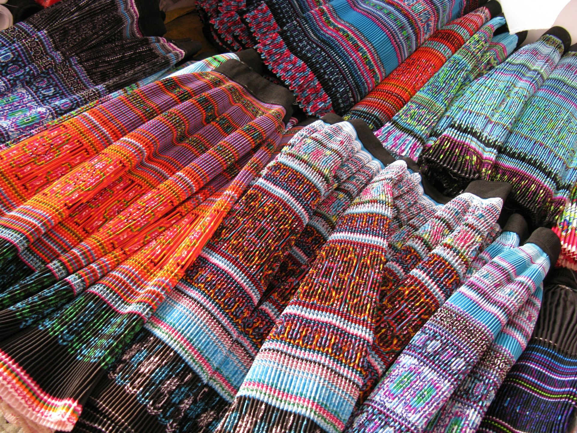
- Burel Factory, in Manteigas, a textile mill reinvesting sheep wool from the serra in contemporary production.
- Nave Mestra, another landmark site in the massif.
- Museu do Caramulo, in the nearby range, for a cultural stop.
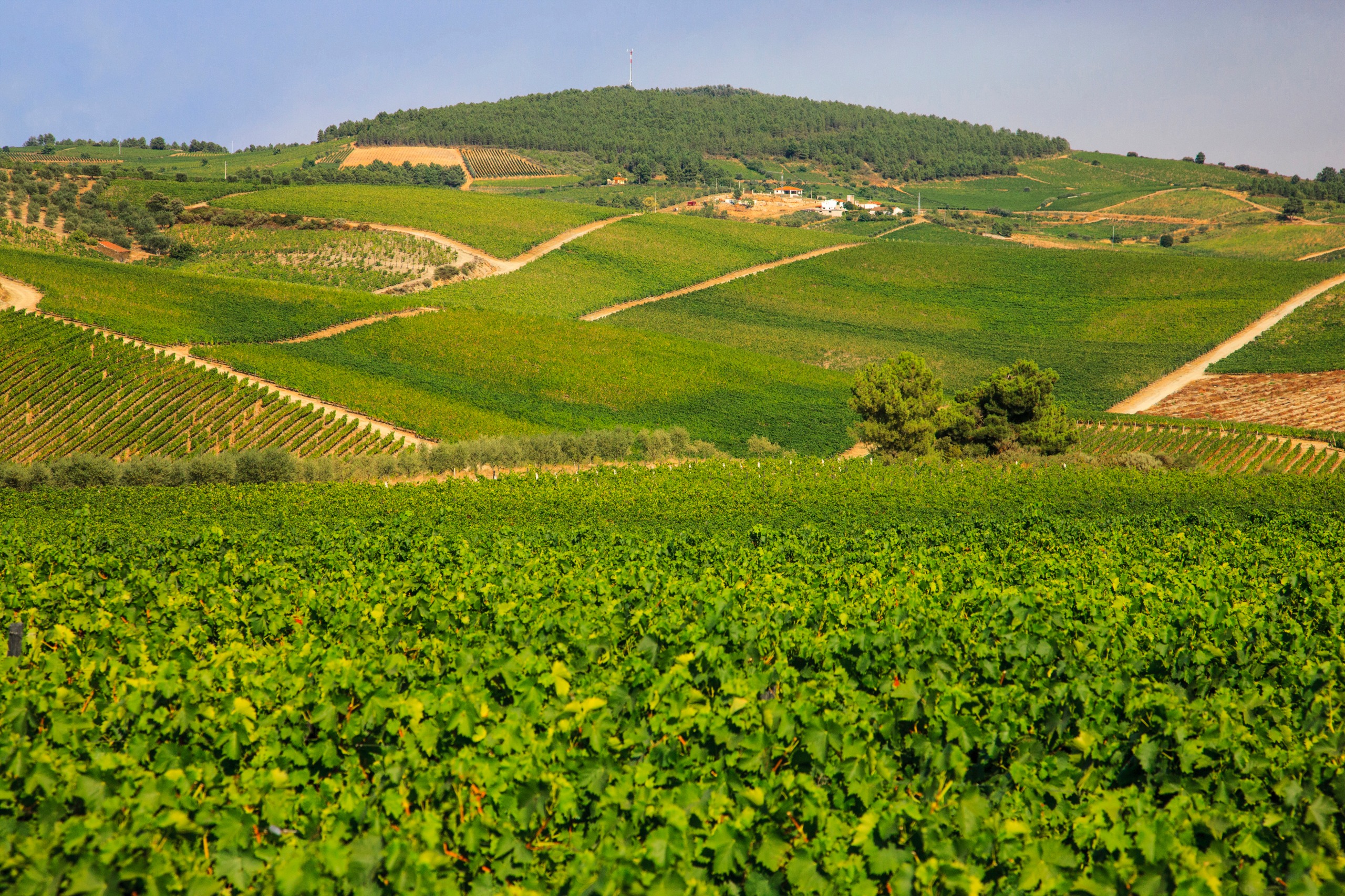
- Bread and Wine Museum of Favaios, further north, to extend toward the Douro.
Integrate Garganta de Loriga into an itinerary
The gorge fits naturally into a mountain and heritage circuit in the country's center, between Coimbra, Serra da Estrela and the Douro. To build a custom trip combining the hike and surrounding villages, explore our travel ideas for Portugal.
Nearby
Interested in this visit?
We can include it in your personalised itinerary.